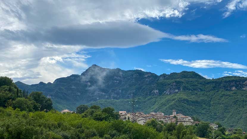
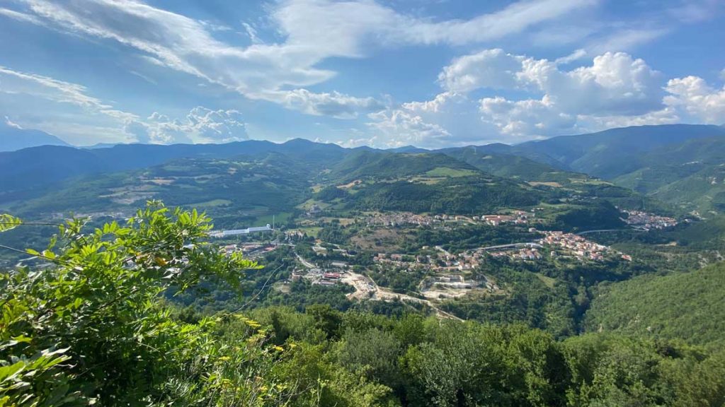
At an altitude of 1,279 meters (4,196 ft.), Monte Pianamonte is a long mountain ridge that offers extraordinary views of Monte Vettore (Monti Sibillini) and the Fluvione valley on the opposite side.
MONTE PIANAMONTE
At an altitude of 1,279 meters (4,196 ft.), Monte Pianamonte is a long mountain ridge that offers extraordinary views of Monte Vettore (Monti Sibillini) and the Fluvione valley on the opposite side.
-
Monte Pianamonte
-
Piandelloro
A small town center that is now partially abandoned, registered in the 16th century as an “agricultural district”.
-
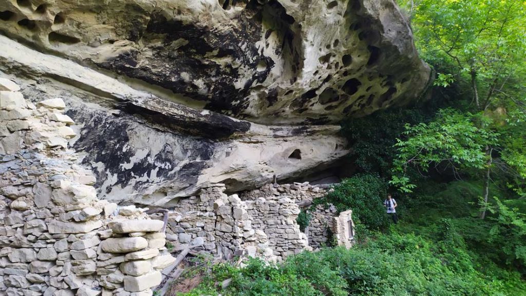
Stone settlements
At just a short distance from the town, you’ll find characteristic “cave dwellings” built close to the sandstone rock walls, with rooms used as stables and barns.
-
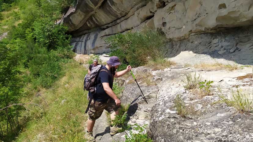
Forcella
Perched on a rocky terrace, it overlooks the confluence of the Rio Tallacano valley and the Tronto river. Its small square, with the church of Sant’Antonio and 16th-century buildings that once belonged to prominent locals, represent its identity.
Length km
10.5
Time hrs
05
Max alt. mt
1220
Difficulty
E
PIANDELLORO
A small town center that is now partially abandoned, registered in the 16th century as an “agricultural district”.
- Depart from
Abetito
- Arrive at
Forcella
- Length
10.6 km (6.5 mi.)
- Max alt.
1220 mt (4002.6 ft.)
- Elevation gain
460 mt (1509.1 ft.)
- Elevation loss
810 mt (2657.4 ft.)
- Hiking time
5 hrs
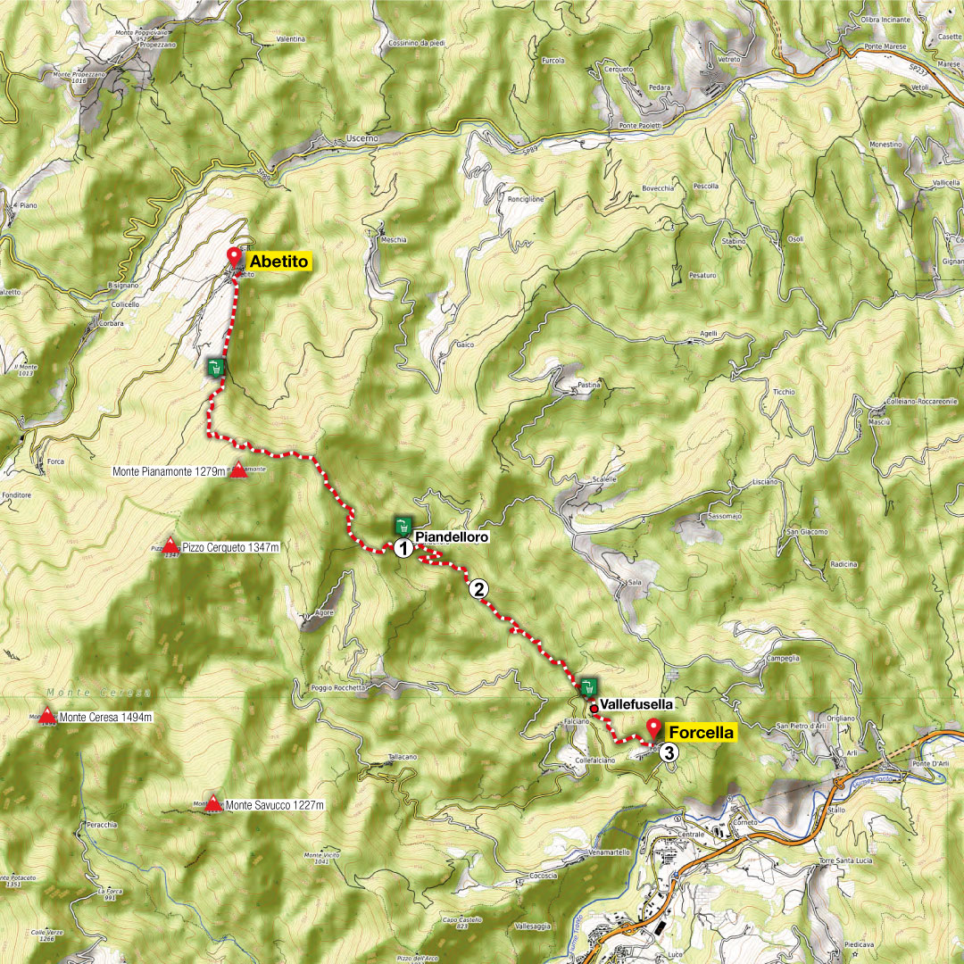
STONE SETTLEMENTS
At just a short distance from the town, you’ll find characteristic “cave dwellings” built close to the sandstone rock walls, with rooms used as stables and barns.
FORCELLA
Perched on a rocky terrace, it overlooks the confluence of the Rio Tallacano valley and the Tronto river. Its small square, with the church of Sant’Antonio and 16th-century buildings that once belonged to prominent locals, represent its identity.