The ancient capital of the Piceni preserves memories and monuments that are among the noblest in our country. A stone calendar with its pages chiseled into the local travertine.
GABA The biking version of the loop
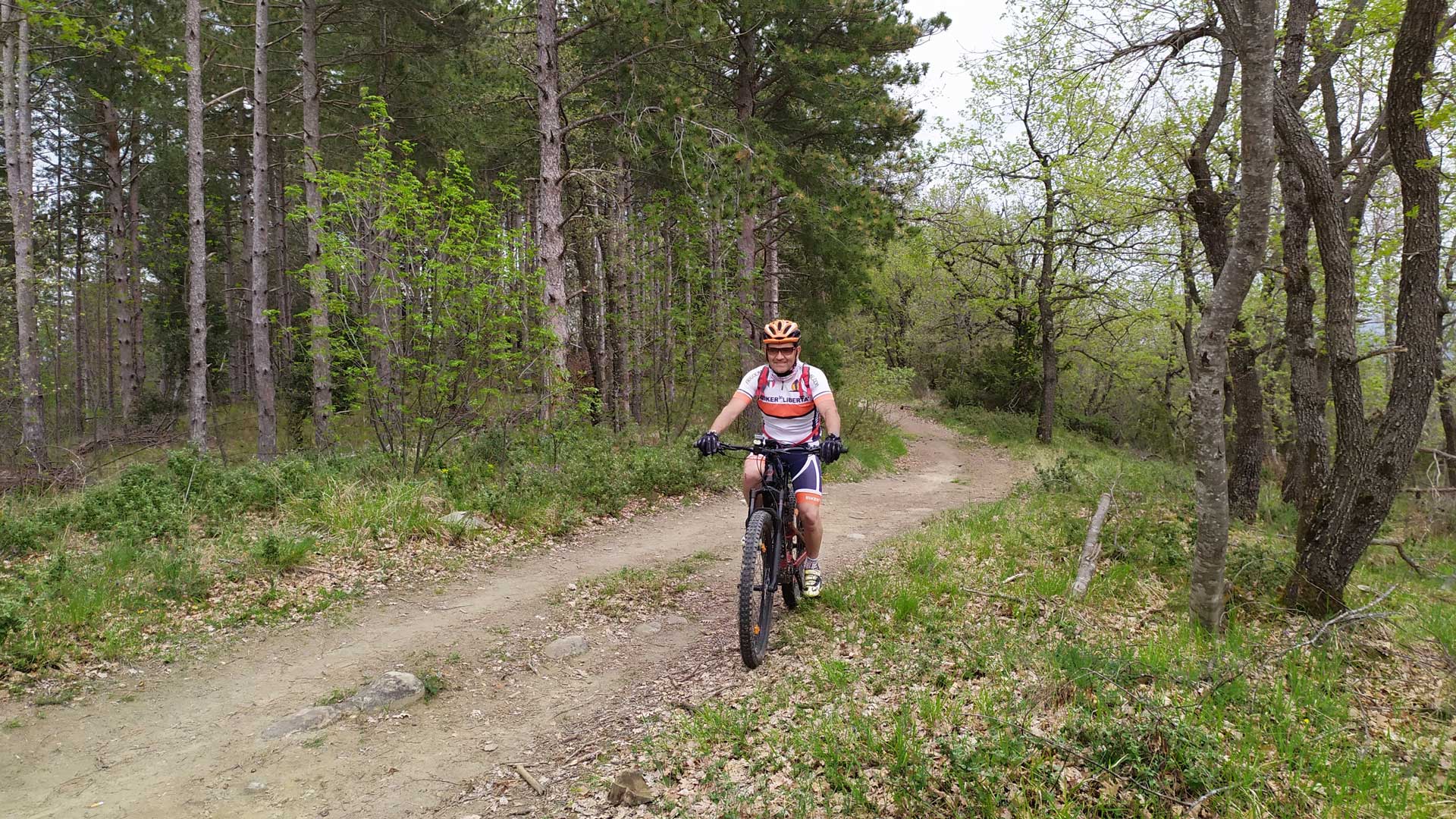
The biking version of the loop is especially recommended for mountain bike lovers, thanks to its unique trails, cart roads, and cart and mule tracks, often characterized by uneven ground.
While riding your mountain bike along the various trails, you’ll be surrounded by lush nature and will be able to admire fantastic landscapes!
However, some experience in this sport is required (since the trails aren’t suitable for beginners). But those with less experience can still enjoy biking here along the various variants.
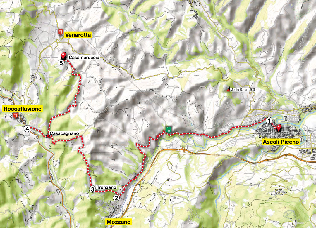
ASCOLI PICENO – ABETITO (MONTEGALLO)
Depart from: historic center of Ascoli Piceno
The first 6 km (3.7 mi.) up to Mozzano are on a secondary asphalted road with a slight elevation gain (100 mt/328 ft.). Excellent for a warmup.
Approximately 3.80 km (2.3 mi.) uphill from Mozzano to Casa Canneto. From here, an easy cart road takes you in the direction of Poggio Anzù and back onto an asphalted road.
When you reach La Taverna, you turn and head towards Olibra Incinesca, then Cerqua Mozza and Casamaruccia, where you can admire the Convent of San Francesco with its adjacent cloister.
-
Ascoli Piceno
-
Borgo Castello di Mozzano
Contrada Castello - The oldest medieval agglomeration of the hamlet and the remains of an ancient fortress situated on the road leading to the small hamlet of Tronzano.
-
Ponte Nativo
A natural bridge along the banks of the Fluvione, one of the most
characteristic representations of the area’s historical identity. -
Convento di San Francesco
The church, with its adjoining convent – one of the first to be erected by the Franciscan order in the Piceno area – was probably founded by St. Francis himself. It underwent transformations in the 15th and 17th centuries, became property of the state in 1885, and again underwent a conservative restoration in the 1980s.
-
Mulino Arena
Located in an evocative position, overlooking the Arena waterfall that flows into the Fluvione, this watermill dates back to 1629 and is one of the typical watermills of the Roccafluvione area.
-
Church of Sant’Ippolito e Cassiano
The austere aspect of this church – once also used for defensive purposes – with its tall bell tower on the façade of the building, is still reminiscent of its function as a lookout post along a road for travelers.
-
Ruins of the Pizzorullo Castle
Surrounded by lush vegetation, on top of a solitary hill, stand the ruins of one of the castles that were once under the domain of the State of Ascoli.
-
Ficocchia
A small hamlet located on the north side of the Fluvione in the territory of the Municipality of Comunanza, which is now entirely abandoned. In the 15th century, it was under the domain of the Castle of Pizzorullo.
-
Uscerno
A small hamlet along the course of the Fluvione surrounded by a lush vegetation, with chestnut groves, small caves, and waterfalls. The houses are embellished with interesting architectural details. In October, you can enjoy local delicacies at the annual chestnut festival.
-
Meschia
A rare example of a 16th-century mountain hamlet with the typical architectural characteristics of the area. Several buildings rest directly on the sandstone rock and can be reached through stairways carved into it. Known for its typical rounded boulders, it is definitely suitable for bouldering.
Lenght km
45
Time hrs
04:30
Max alt. mt
778
Difficulty
E
From here, you go down to Case Nuove di Capodipiano and turn left near the hamlet of Arola to reach the Ponte Nativo of Roccafluvione. Then you bike on a stretch of provincial road and, after approximately 1.80 km (1.1 mi.), you turn left in the direction of Vetoli. This is where a climb takes you to the hamlet of Osoli, followed by a descent that leads to the Mulino Arena (watermill), in the Fluvione valley.
After admiring the spectacular Arena waterfall, you take a short stretch of provincial road 237 to the Pedara junction.
- Depart from
Ascoli Piceno
- Arrive at
Abetito
- Length
45 km (28 mi)
- Max alt.
778 mt (2552 ft.)
- Elevation gain
1465 mt (4806 ft.)
- Elevation loss
854 mt (2801 ft.)
- Biking time
4 hrs 30 min
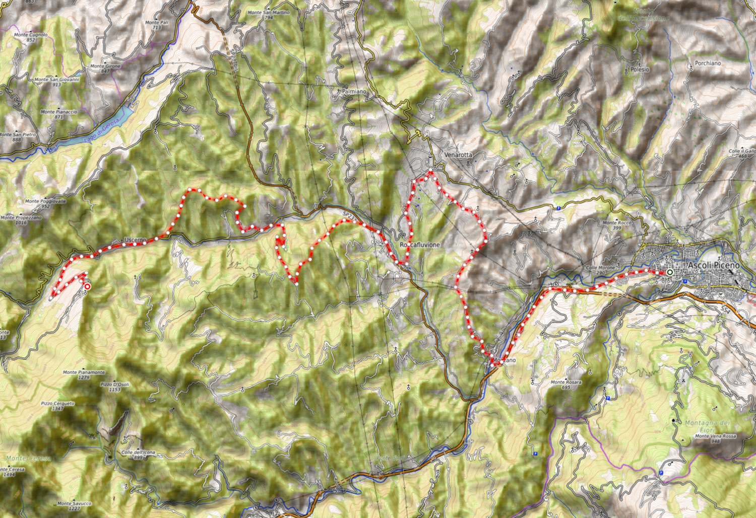
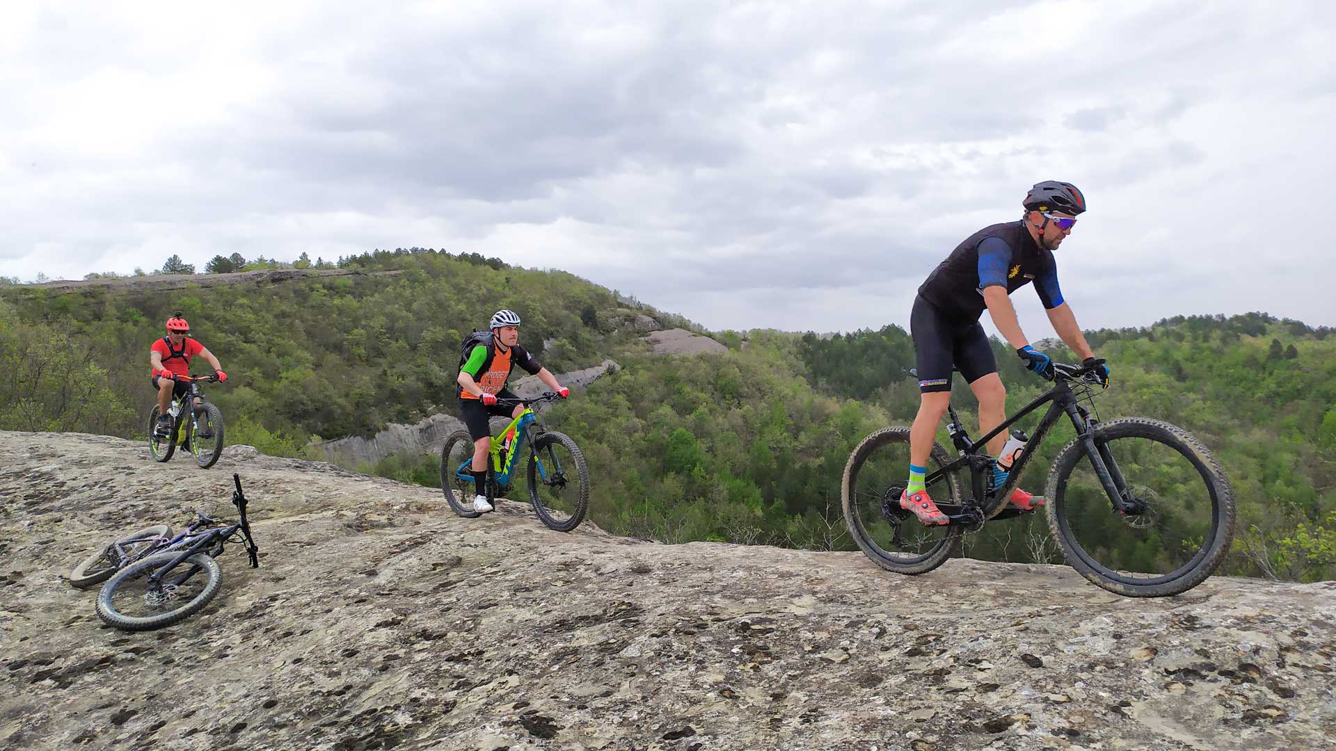
Here, those who are most experienced and capable of tackling downhill and uphill climbs on sometimes bumpy ground, will turn right and climb towards the Colle di Pizzorullo, after having biked through the small town of Pedara, followed by the adrenaline-pumping descent in single track that, from the terrace of the Sibillini – a spectacular panoramic point – leads back to the provincial road, 1.5 km (0.9 mi.) from Uscerno di Montegallo.
Instead, those who don’t feel like tackling this stretch will be able to continue along the provincial road up to Uscerno.
About 600 mt (1,968 ft.) after this hamlet, turn left in the direction of Abetito (Montegallo), which can be reached after approximately 5 km (3.1 mi.) uphill on the asphalted road.