One of the few still functioning watermills that has been restored and which is also an accommodation facility. And, at just a stone’s throw, you can admire a wonderful natural waterfall that forms a clear-water pool.
GABA The biking version of the loop
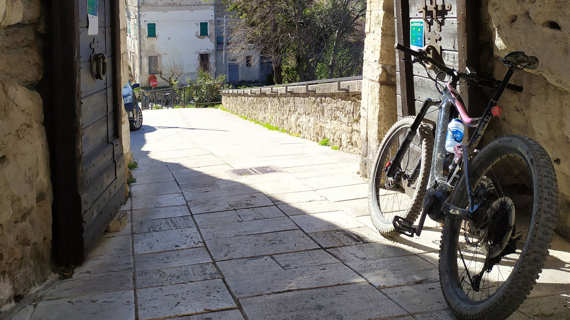
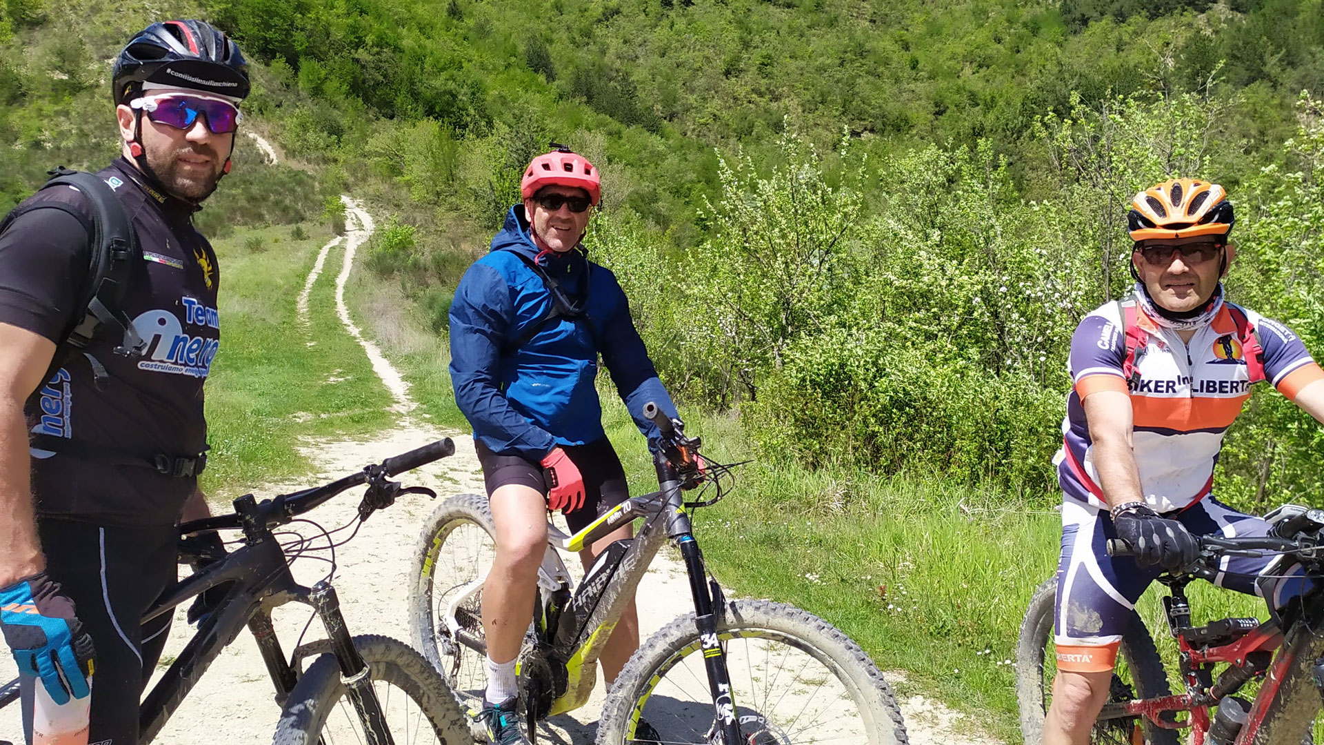
The biking version of the loop is especially recommended for mountain bike lovers, thanks to its unique trails, cart roads, and cart and mule tracks, often characterized by uneven ground.
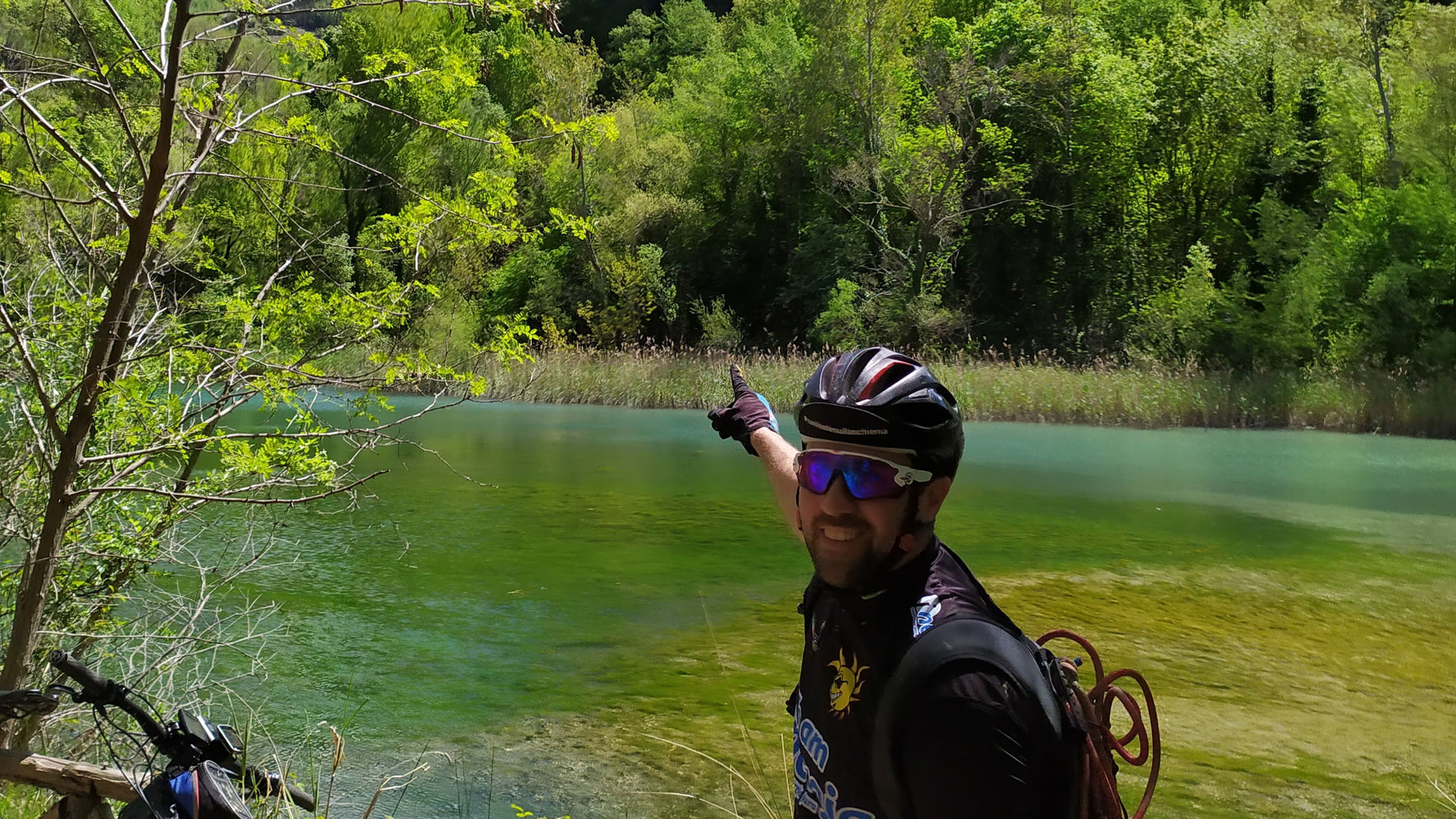
While riding your mountain bike along the various trails, you’ll be surrounded by lush nature and will be able to admire fantastic landscapes!
However, some experience in this sport is required (since the trails aren’t suitable for beginners). But those with less experience can still enjoy biking here along the various variants.
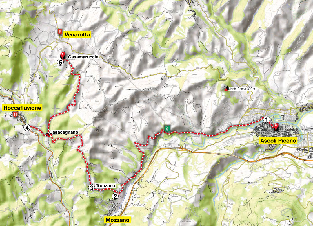
FORCELLA (ROCCAFLUVIONE) – ASCOLI PICENO
From the town of Forcella, bike down the asphalted road, crossing the river Tronto and the hamlet of Centrale di Acquasanta Terme.
There’s also an alternative, but only for more experienced bikers: reach the provincial road towards Tallacano and turn left in the direction of Venamartello. From here, continue to Cocoscia and take a rather demanding single-track trail (enduro), which descends directly to the Tronto river, in the Lu Vurghe area (hot springs).
Turn left on the provincial road of Bosco Martese to reach Paggese, not without first having made a stop at Lu Vurghe, the hot springs located in the riverbed of the Tronto river, under the hamlet of Santa Maria di Acquasanta Terme.
-
Mulino Pompili (Pompili mill)
-
Paggese
Located near the Salaria consular road, this small hamlet in the municipality of Acquasanta offers its visitors a surprise around every corner. The Church of San Lorenzo, in the town square, is a home to remarkable works of art.
-
Castel di Luco
A majestic manor with an unusual elliptical shape that still preserves its medieval allure. Its name derives from the world “lucus”, which means “clearing in the woods reached by light”.
-
Abbey of San Benedetto in Valledacqua
The current monastery was erected from the remains of the ancient Abbey of the monks of Farfa, built at the end of the 10th century in a suggestive natural setting.
-
San Gregorio
The town of the brigand, Giovanni Piccioni, protagonist of the pre-unification political banditry of the Piceno region.
-
Valley of the Castellano
With its characteristic V-shape, the Castellano torrent is a natural access that leads from Ascoli Piceno to the Monti della Laga. The torrent winds its way along the sandstone formations of the Laga and the limestone of the Monti Gemelli.
-
Talvacchia
- Strategically located between the valleys of the Tronto and Castellano rivers, it also gives its name to the nearby artificial lake created by the dam of the Castellano, built in 1960.
-
Coperso - Rosara
This panoramic trail winds along the ridge of a chain of mountains and hills, between the Castellano torrent and the Rio Lungo, until it reaches the small hamlet.
-
Castel Trosino
An ancient castle, built on the top of a travertine cliff, made up of a single large boulder that detached from the foothills of Colle San Marco in ancient times. You can only enter hamlet through one opening in the majestic town walls.
-
Eremo di San Marco (Hermitage of San Marco)
An ancient hermitage that literally clings to the rock wall. It was chosen in the 13th century by the Cistercian monks as the ideal site to meditate and contemplate in perfect isolation.
Length km
40
Time hrs
04:30
Max alt. mt
1065
Difficulty
E
Once in Paggese, continue crossing the old center, then take the old cart road that leads to Castel di Luco. From here, continue on a trail to the foot of the castle and, after crossing a ditch, take a dirt road to Fornara.
From here, climb up a dirt road towards Valledacqua, then continue on an uphill dirt road, which sometimes becomes steep, until you enter the centuries-old chestnut grove of Monte Teglia (follow the trail).
The next stop will be the hamlet of San Gregorio, located in a panoramic position at about 1,000 mt (3,281 ft.).
- Depart from
Forcella (Roccaflucione)
- Arrive at
Ascoli Piceno
- Distance
40 km (25 mi)
- Max alt.
1065 mt (3494 ft.)
- Elevation gain
1094 mt (3589 ft.)
- Elevation loss
1372 mt (4501 ft.)
- Biking time
4 hrs 30 min
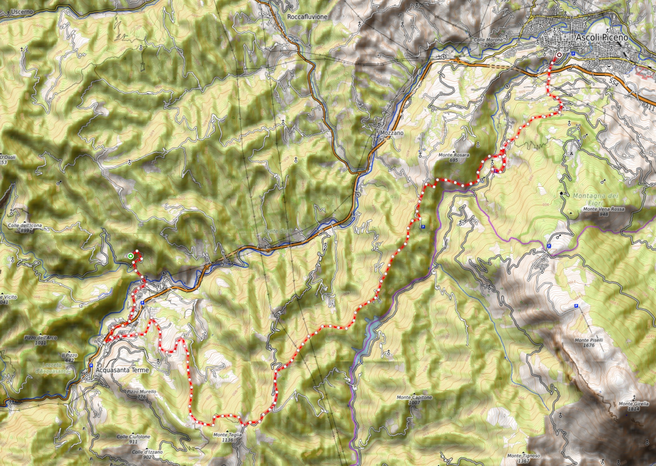
After the hamlet, take the asphalted road downhill, until you come upon a deviation to the right near a soccer field. From here, take a dirt road that, after about 500 mt (1,640 ft.), becomes a trail (bumpy at times) that will take you to the hamlet of Talvacchia, located above the Talvacchia lake.
Then continue towards Coperso on a dirt road to the right, not far from Coperso. You then descend into the Castellano valley, biking along the lake of Castel Trosino and then up to the hamlet of Piagge to visit the Hermitage of San Marco. Finally, the end of your excursion is a downhill stretch to Ascoli Piceno.